Marine Traffic Google Earth
Google Earth Application for Free Ship Tracking by Marine Traffic
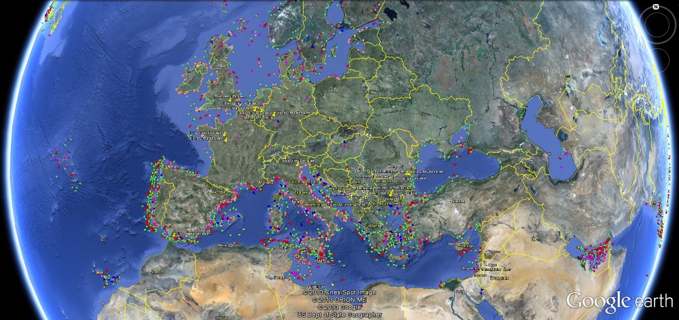
The information of vessels positions provided by MarineTraffic is available in KMZ format, which is used by the Google Earth application. Google Earth is freely available for personal use and provides very detailed and efficient browsing in world's satellite maps. If Google Earth is installed in your computer, you may see the vessels positions in real time and you may browse quickly the areas of your interest, without the limitations of the web page maps but just using Google Maps.

Download the Google Earth .kml file of MARINE TRAFFIC
DOWNLOADGoogle Earth Application for Free Ship Tracking by APRS.fi
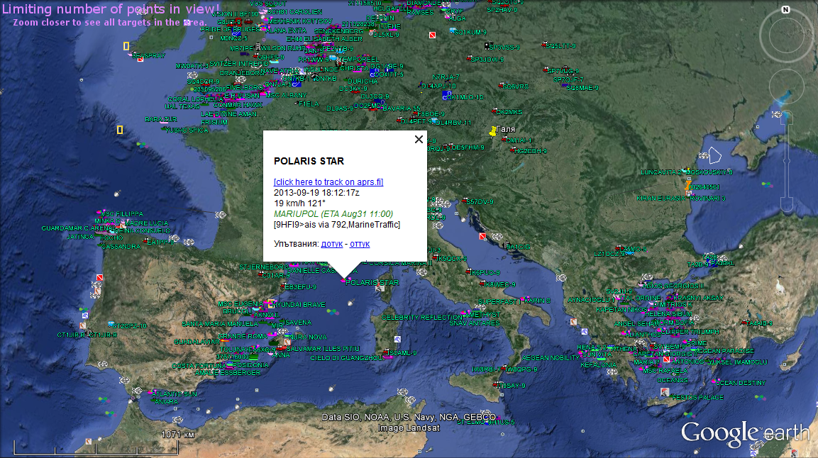
Screenshot of APRS's Google Earth Application (Plug-In) for visualization of live AIS ship traffic.

Download the APRS Google Earth Plug-in .kml file.
DOWNLOAD
Download GOOGLE EARTH
(if it is not already installed in your computer),
here: